An Update From the NTCC

It’s been a minute! We’ve been quiet but not idle. Behind the scenes, we’ve been hard at work defining the direction of the future for the NTCC. And the future is here! We’re excited to be ramping up for a busy summer season, planning for lots of bolt and route maintenance, crag clean-ups, and engagement with the community.

With that in mind, we have added a page to our website for you to record any bad bolts, dangerous conditions, or other crag maintenance issues. We will be keeping tabs on these reports, so keep your eyes peeled for any issues when you are out and about in the North Tahoe region. And if you’re psyched to join us in preserving these places we love, be on the lookout for updates about future clean up days.

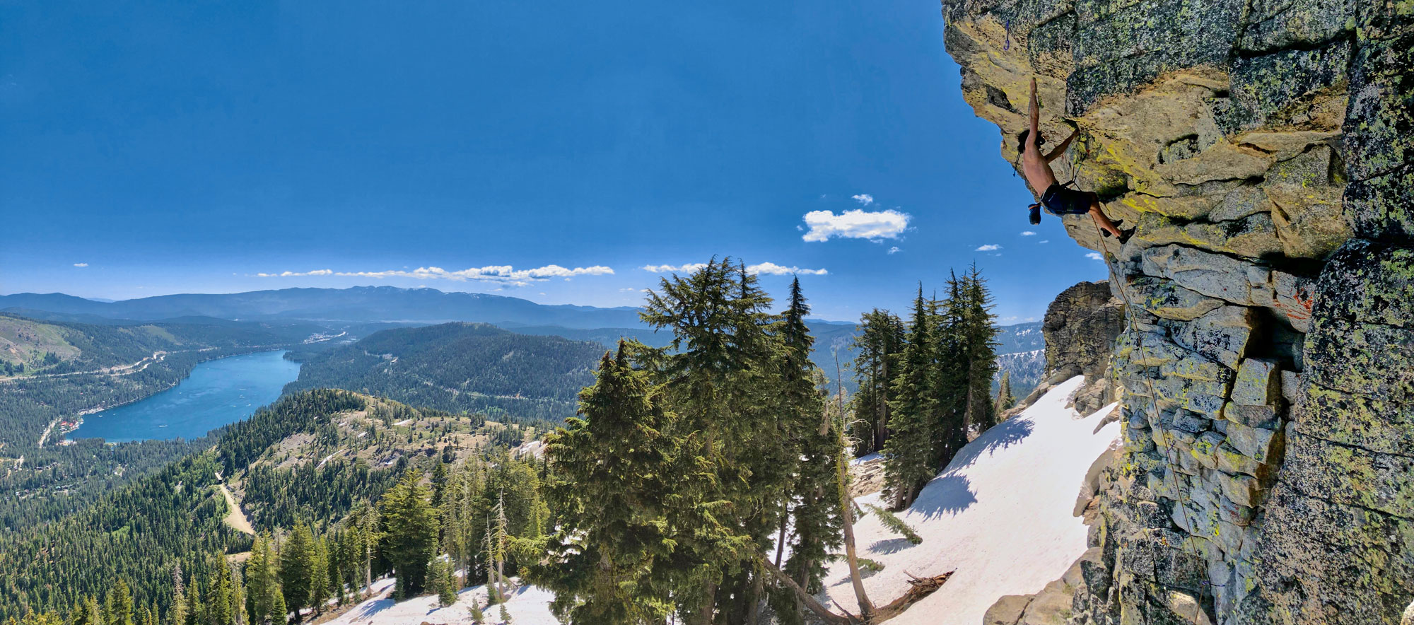
We hope you’re ready for the summer ahead—we know we sure are. The Office ledge is almost melted and conditions will soon be firing!

See you out there,

The NTCC Board

Donner Summit Graffiti Removal Project – July 29, 2021

COMMUNITY TRAIN TUNNEL
GRAFFITI REMOVAL PROJECT
Thursday, July 29th
9AM – 12PM and 1-4PM
MEET AT THE LAMSON-CASHION TRAIL HUB
(Sugar Bowl’s Summit Haus)
Please help preserve Donner Summit’s History by participating in the Graffiti Removal project. Graffiti is defacing the historical landmarks and destroying artifacts of Donner Summit. Please sign up for one of the time slots below. Also make sure you wear old clothes, sturdy shoes, and bring water. A bicycle (optional) and headlamp are recommended. We will supply paint and rollers. Any donations to help with materials and supplies are welcome, please click on the link below and reference Graffiti Removal. Since there are so many stakeholders when it comes to Donner Summit it is important to have the support of the community. 

Removing graffiti from the railroad snowsheds is an ongoing project.
If you’d like to make a financial contribution to this effort, visit https://www.donnersummitca.com/donate
Anyone witnessing suspicious activity should contact the Nevada County Sheriff’s Office at 530-265-7880. 

Donner Pass Road (Old 40) closures continues…

Traffic Delays and Road Closures Scheduled – Beginning in the summer of 2020 and continuing through this summer, the Project on 6.5 miles of Donner Pass Road to rehabilitate and widen the shoulder continues to focus on rebuilding the roadway on the west side of the summit from the intersection of the Soda Springs exit on I-80 up to the summit. Although there are no road closures on this section of roadway, please expect up to 20 minute traffic delays. On the East side of Donner Pass Road from the summit to the Truckee Town limits the roadway will be closed  from 7:00 a.m. to 5:00 p.m., Monday through Friday. 

Road upgrade project map: Donner Pass Road.
Project Map

As reported on Nevada County’s website: 
https://www.mynevadacounty.com/230/Donner-Pass-Road-Reconstruction
This project consists of road rehabilitation and shoulder widening on 6.5 miles of Donner Pass Road beginning at the Soda Springs exit and ending at the Truckee town limit east of the summit. A typical road section will consist of two 11-foot lanes with 4-foot shoulders plus safety edges, except in the downhill direction on the east side due to topographical constraints. The project will also improve recreational and sightseeing access, with enhanced parking on the east side of the summit that connects to rock climbing, hiking, and biking amenities, as well as to historic and prehistoric features. Bicycling conditions will be improved with bike lanes in both directions on the west side and in the uphill direction on the east side. Enhanced pullouts and parking areas include the Rainbow Bridge parking lot, School House pullout, Star Wall pullout, Snow shed North and South pullouts, Space Wall pullout, and Black Wall pullout. During the winter the widening will also provide additional snow storage and improve access to winter recreational destinations. Nevada County received California Federal Lands Access Program (FLAP) funding for this project in 2015. The project is being managed and delivered by the Central Federal Lands Highway Division (CFLHD). More information can be found at CFLHD’s website at https://highways.dot.gov/federal-lands/projects/ca/donner-pass

Donner Pass Road (Old 40)

Donner Summit Graffiti Removal Project – September 24th

The graffiti at Donner Summit has again come to a point where the local community is ready to spend another day working to clean the slate. We are continuing our efforts cleaning the Snowshed. Hope you can attend.  

If you are interested in assisting in this project, please use the following link to sign up for this event. This will help us organize for those that can attend and ensure we have enough tools to complete the task…

Donner Summit Graffiti Removal Project Sign Up

Donner Summit Graffiti Removal Project – September 2nd – 4th

The graffiti at Donner Summit has again come to a point where the local community is ready to spend another few days working to clean the slate. We are not cleaning the slate to create a new canvas but to keep it “au naturel”. Hope you can attend.

If you are interested in assisting in this project, please use the following link to sign up for this event. This will help us organize for those that can attend and ensure we have enough tools to complete the task…

Donner Summit Graffiti Removal Project Sign Up

Donner Pass Road (Old 40) closures due to ongoing road improvements.

Traffic Delays and Road Closures Scheduled – Beginning on July 6 running thru October 15, Donner Pass Road from Rainbow Bridge to the Town of Truckee Limits , will be closed to all traffic from 7:00 am Monday- 5:00 Friday. The road will be open with one way traffic control on the weekends.

Road upgrade project map: Donner Pass Road.
Project Map

As reported on Nevada County’s website:
https://www.mynevadacounty.com/230/Donner-Pass-Road-Reconstruction
This project consists of road rehabilitation and shoulder widening on 6.5 miles of Donner Pass Road beginning at the Soda Springs exit and ending at the Truckee town limit east of the summit. A typical road section will consist of two 11-foot lanes with 4-foot shoulders plus safety edges, except in the downhill direction on the east side due to topographical constraints. The project will also improve recreational and sightseeing access, with enhanced parking on the east side of the summit that connects to rock climbing, hiking, and biking amenities, as well as to historic and prehistoric features. Bicycling conditions will be improved with bike lanes in both directions on the west side and in the uphill direction on the east side. Enhanced pullouts and parking areas include the Rainbow Bridge parking lot, School House pullout, Star Wall pullout, Snow shed North and South pullouts, Space Wall pullout, and Black Wall pullout. During the winter the widening will also provide additional snow storage and improve access to winter recreational destinations. Nevada County received California Federal Lands Access Program (FLAP) funding for this project in 2015. The project is being managed and delivered by the Central Federal Lands Highway Division (CFLHD). More information can be found at CFLHD’s website at https://highways.dot.gov/federal-lands/projects/ca/donner-pass

Donner Pass Road (Old 40)